
Ranch & Property Aerial Surveys
Drone-Based Land & Infrastructure Documentation
J&E Tex Drones LLC provides FAA-authorized Ranch & Property Aerial Survey services in Central Texas for ranch owners, land managers, and large property stakeholders.
J&E Tex Drones LLC provides ranch and property aerial surveys, including livestock and wildlife monitoring support in Central Texas using thermal drones.
J&E Tex Drones LLC provides aerial data collection and visual documentation services only.
All services are observational in nature and designed to support planning, recordkeeping, and consultation with licensed wildlife professionals and landowners.
Our drone-based aerial surveys deliver high-resolution visual documentation of large acreage and critical infrastructure, including access roads, fence lines, water sources, terrain features, and overall land conditions. These surveys are conducted using non-intrusive drone operations designed to support planning, assessment, and documentation needs without disrupting daily operations.
All operations are conducted using non-intrusive, low-impact aerial methods designed to minimize disturbance to wildlife, livestock, and land operations.
Ranch & Property Aerial Surveys are ideal for:
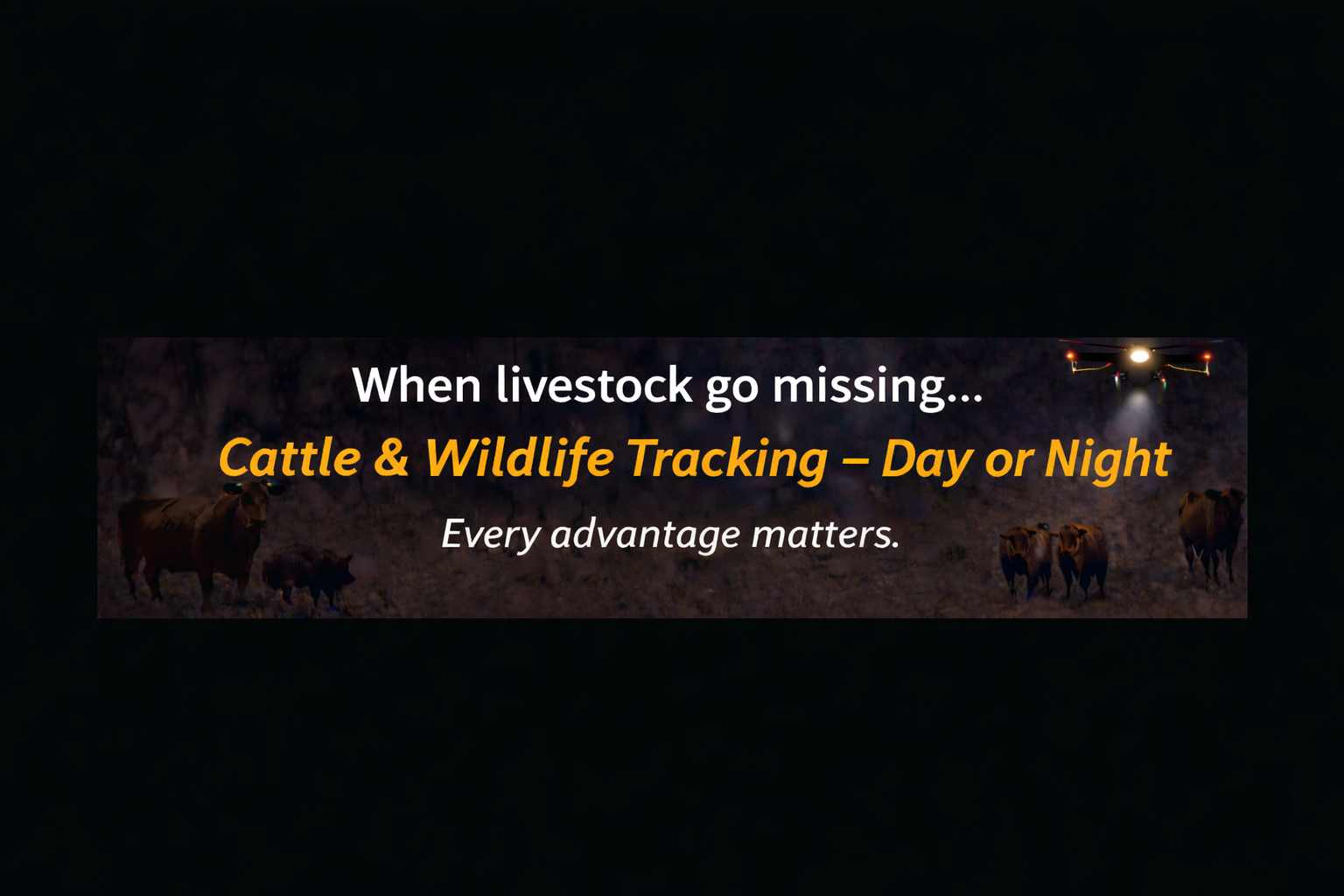
Cattle & Livestock Search Support Using Thermal Drones
Property condition assessments
Infrastructure and access road documentation
Fence line and boundary visibility
Water source and terrain monitoring
Ongoing land management records
J&E Tex Drones also provides cattle and livestock search support for ranch owners and large rural properties using thermal drone technology. These operations assist landowners in locating missing or displaced cattle, calves, and other livestock across wide acreage, brush, tree lines, and low-visibility terrain.
Thermal imaging allows livestock body heat signatures to be identified day or night, helping ranch owners quickly confirm animal locations following fence damage, storms, or routine livestock checks. All livestock-related flights are conducted as non-intrusive, observational drone operations designed to minimize disturbance to animals and ongoing ranch activities.
Livestock Search Applications Include:
• Missing or escaped cattle
• Calf location and pasture sweeps
• Thermal livestock detection
• Large-acreage ranch property searches
• Fence-line inspections related to livestock movement
All operations are conducted in accordance with applicable FAA regulations and approved operational authorizations.
If you are a ranch owner, land manager, or property stakeholder interested in professional aerial documentation, we invite you to schedule a consultation to discuss your project requirements.
Service availability may vary based on airspace, weather, and operational conditions.
What to Expect During Your Aerial Survey
When you schedule a Ranch & Property Aerial Survey with J&E Tex Drones LLC, our process is designed to be straightforward, professional, and minimally disruptive to your operations.
1. Pre-Survey Planning
Before the flight, we review your property boundaries, access points, and areas of interest. This allows us to plan a safe and efficient flight route tailored to your land and documentation goals.
2. Daytime Aerial Flight Operations
Each survey is tailored to the unique layout and priorities of your property. Surveys are conducted during daylight hours using high-resolution drone cameras. Flights follow a planned route to capture a complete visual overview of the property, including terrain, access roads, fence lines, water sources, and infrastructure.
3. Visual Documentation Capture
During the survey, continuous aerial video is recorded to document overall property conditions. Additional still photographs are captured to highlight specific features, structures, or areas of interest observed during the flight.
4. Minimal Impact Operations
All flights are performed using non-intrusive, low-impact methods designed to minimize disturbance to livestock, wildlife, and ongoing ranch operations.
5. Data Review & Delivery
After the survey, collected imagery is reviewed and organized. You will receive access to your aerial video and photographs through a secure digital delivery method, allowing you to view, download, and retain your records for planning and documentation purposes.
6. Optional Add-On Services
If requested, additional services such as mapping products, orthomosaic imagery, or follow-up flights can be discussed separately based on your needs.
Important Note
Ranch & Property Aerial Surveys are visual documentation services only. J&E Tex Drones LLC does not provide wildlife population counts, biological assessments, or land management recommendations. All imagery is intended to support planning, recordkeeping, and consultation with licensed professionals.