
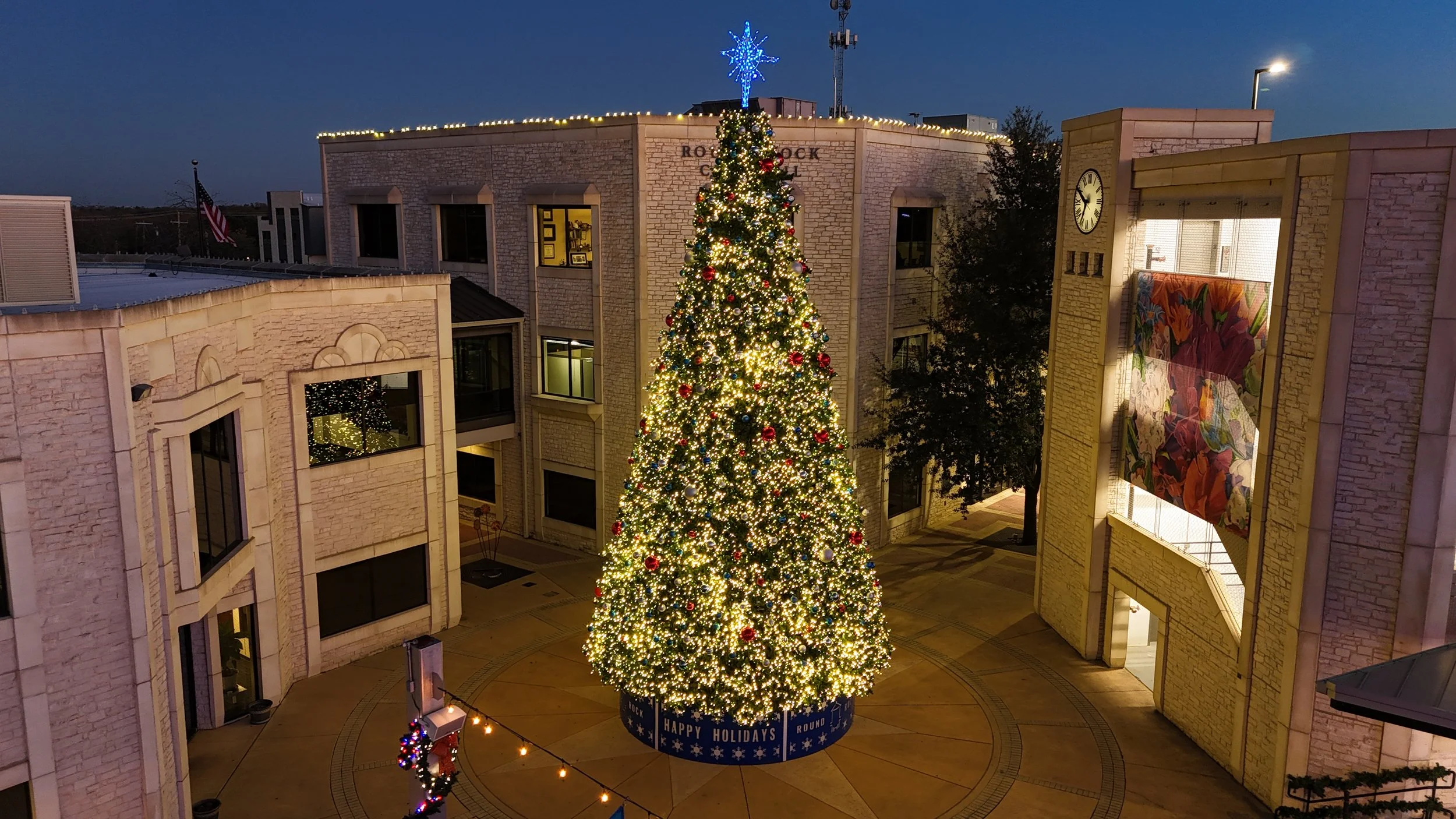
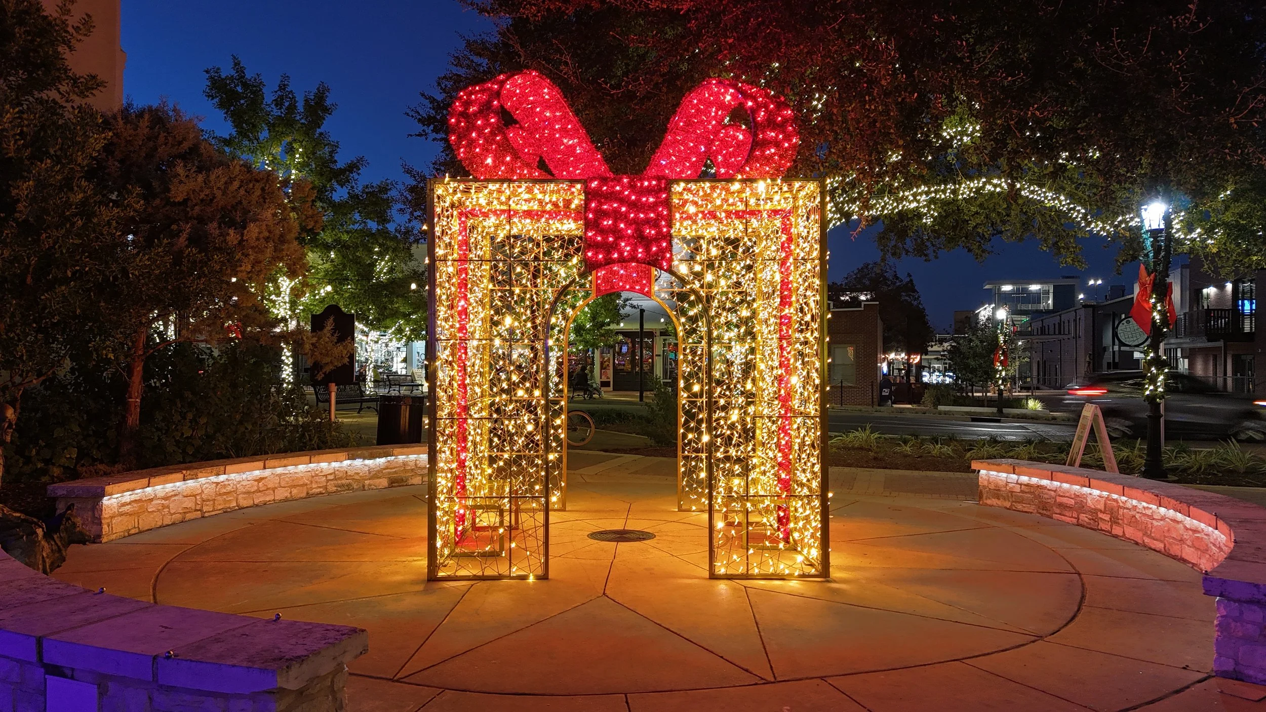
Welcome to J&E Tex Drones LLC — where expertise meets the sky to capture your world from stunning new heights!
Welcome to J&E Tex Drones LLC — where expertise meets the sky and every flight delivers precision, clarity, and purpose. We specialize in capturing the world from stunning new perspectives, offering crystal-clear aerial imagery designed to support real results for homeowners, businesses, and project managers across Central Texas. Whether you need unforgettable event coverage, detailed roof inspections, real estate photography, or construction progress documentation, our drone services are tailored to deliver accuracy and impact on every mission.
With the power of the DJI Matrice 4T, we now provide advanced thermal imaging and fully FAA-compliant night operations. This includes radiometric temperature mapping, RGB/thermal comparison views, annotated hotspot detection, and precise location-based measurements. These capabilities make it possible to identify moisture intrusion, insulation failures, electrical hotspots, and energy loss — giving inspectors, engineers, and property managers the data they need to make informed decisions.
We are also proud to introduce our newest offering: Pet Rescue (PSR) — drone-assisted search support for missing pets. Using the Matrice 4T’s high-resolution thermal camera, AI-assisted tracking, A1 Spotlight, and real-time GPS marking, we help families locate lost dogs, cats, or livestock quickly and safely, even in total darkness. Clients can view the live drone feed on-site and receive immediate guidance to the last-seen location, giving them the best possible chance of bringing their companion home.
Equipped with the DJI Matrice 4E Enterprise paired with Emlid Reach RS2+ RTK GNSS, we deliver survey-grade mapping with centimeter-level accuracy. From flat contour maps and high-resolution orthomosaics to detailed 3D terrain models, we provide the essential data needed for confident planning, land development, and construction management.
We also create premium 360° panoramic imagery captured from 350 feet, along with stitched, multi-location site maps annotated with business names, addresses, and website links — ideal for marketing, visualization, and project coordination.
At J&E Tex Drones LLC, the possibilities are limitless.
Let us help you see the bigger picture — from the ground, the sky, and beyond.

From cinematic aerial views to precision mapping and immersive panoramas, J&E Tex Drones transforms ordinary scenes into extraordinary stories — built to capture, measure, and inspire.


Reach Out to Us
We would be honored to have you as a client. Your vision is our priority, and we offer competitive pricing on all our packages to bring it to life.
Our mission is to deliver high-quality drone photography and videography that capture your moments and projects from stunning aerial perspectives. With a commitment to professionalism and efficiency, we ensure exceptional content that exceeds your expectations.
Thank you for choosing J&E TEX Drones LLC! Share your details with us, and we’ll get back to you promptly. We look forward to working with you!